|
|
|
|
 |
| science |
|
|
|
|
|
|
|
Scientific Applications
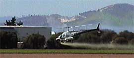 GPS is now used by farmers to micro-manage their fields,
and in outdoor sports to measure performance.
GPS is now used by farmers to micro-manage their fields,
and in outdoor sports to measure performance.
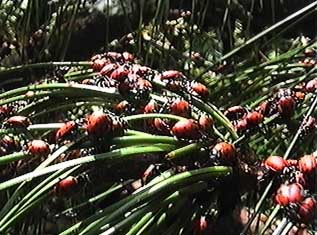
Earth Scientists, Biologists, and Ecologists
use GPS to locate and catalog areas of interest.
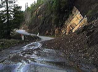
GPS is also used by all levels of Government
to help manage land, property, and utilities.
Wild Rose will be glad to help with business,
scientific or other other professional applications.
Prices are very reasonable, and good control
and accuracy is maintained over the entire process.
We can customize the processing of GPS points to include
time, distance, speed, or other external data,
and plot these on a map with color, line-style, or text,
or separately as a graph or histogram.
We can also do field work with GPS
when a precision of 100 meters RMS
(due to Selective Availability)
will suffice.
If you use a differential-corrected GPS receiver (DGPS)
or have data from another source,
we can plot with far greater accuracy,
typically 15 meters or better at 1:24,000 scale.
GPS is a recent addition to the many tools
used by Professional Surveyors to perform very precise
measurements of land and the ways we use it.
If you require such precision,
or if your work involves property rights,
city management, or official permits,
a Professional Surveyor is really the only way to go.
|
|
|